
With artful prose, a strong sense of place, and attention to detail, Greg Seitz shares stories that inspire and inform environmental stewardship and cultural connectivity.
Recent writings:
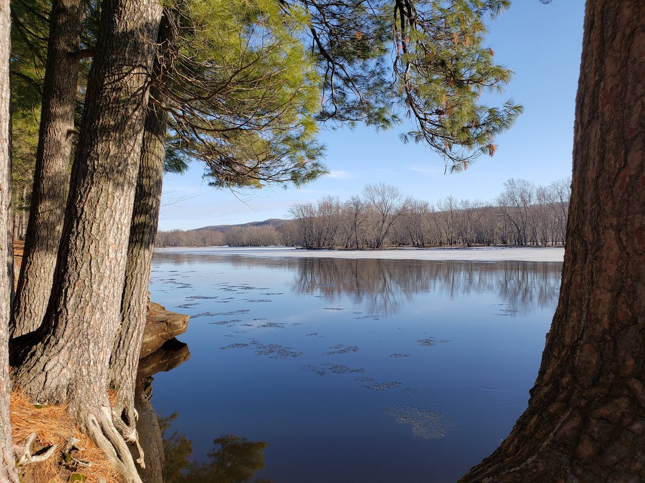
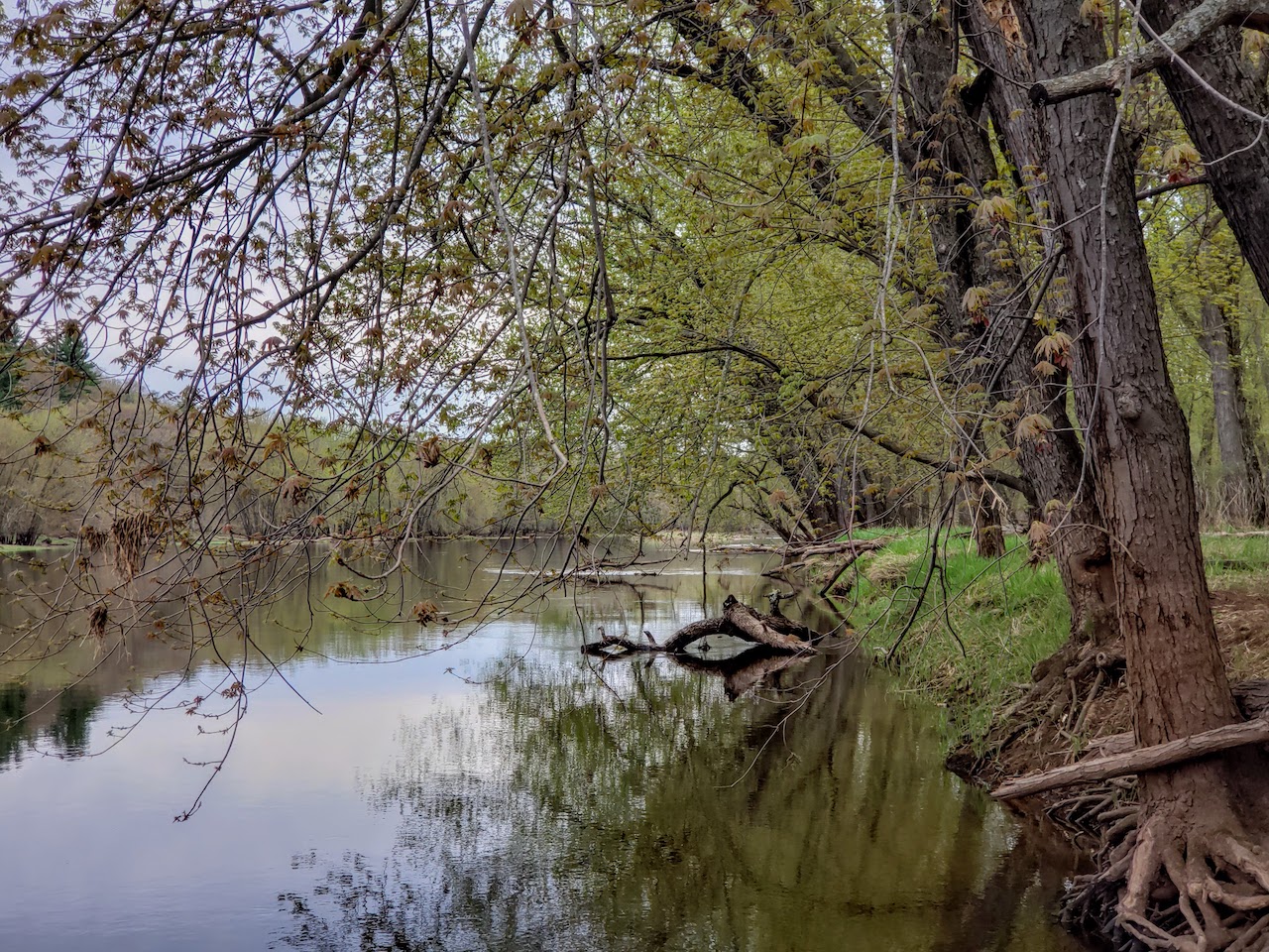
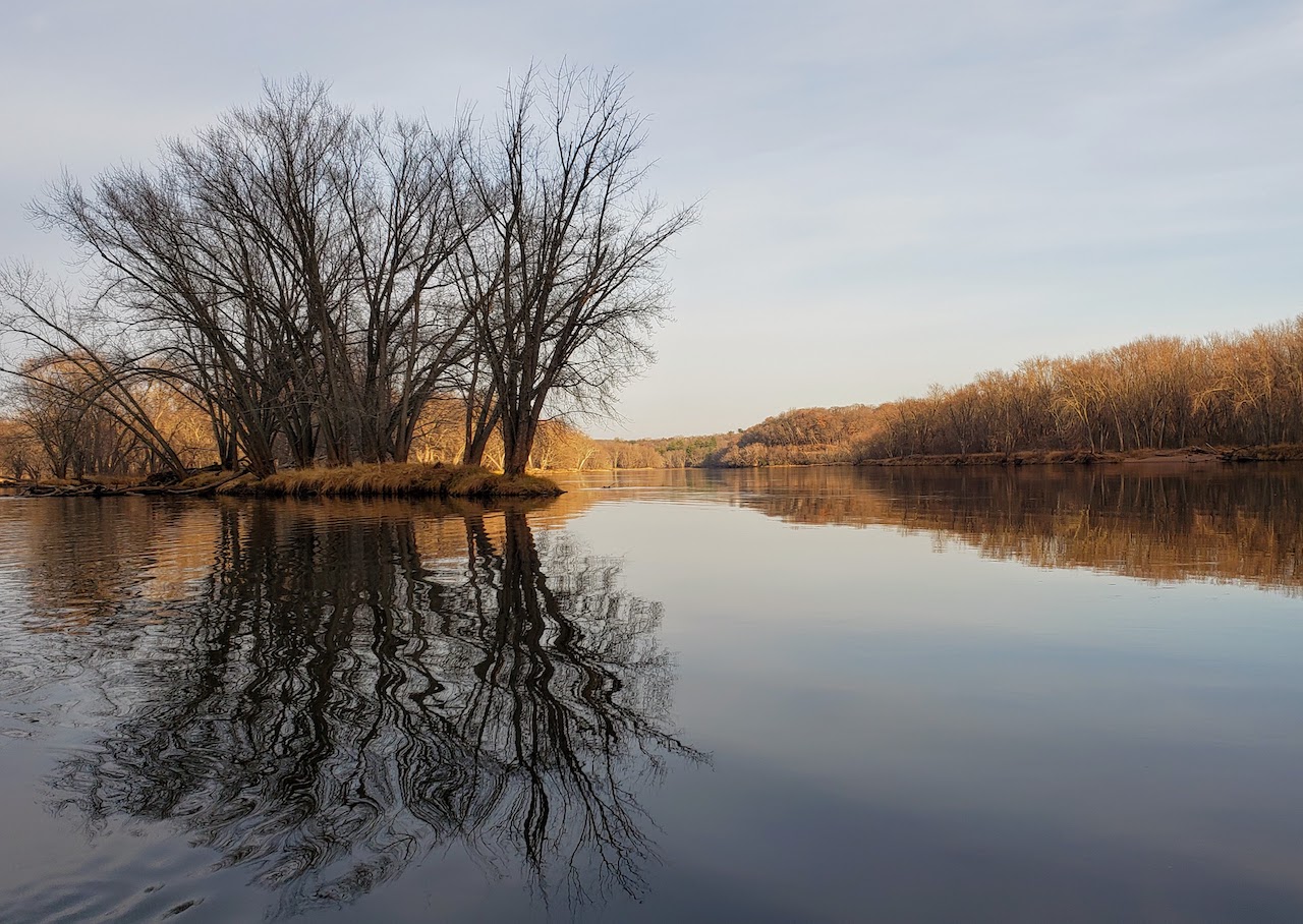
- Six More Ways of Seeing the St. Croix: Precious waters
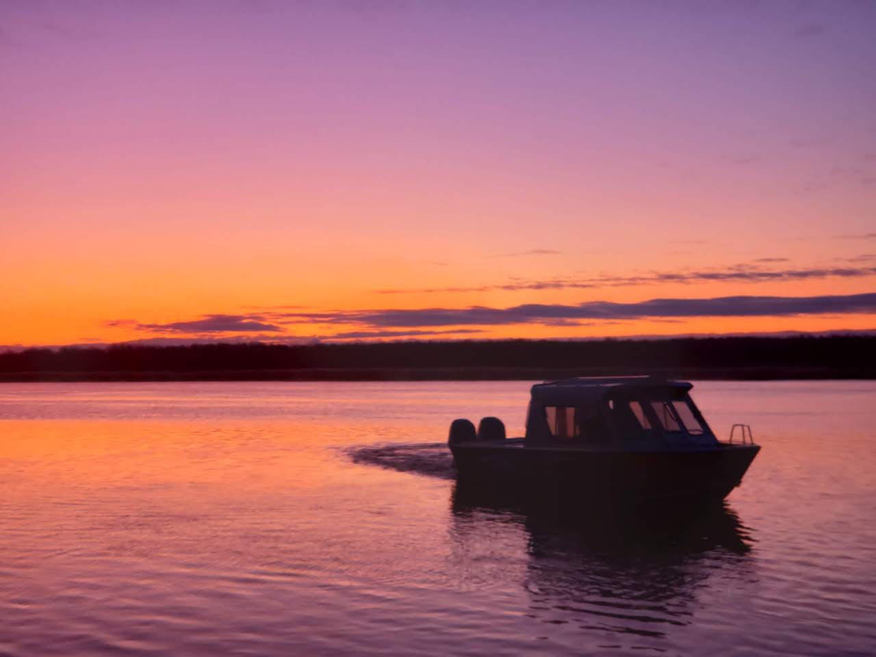
- Wake boaters sue northern Wisconsin community over lake protection rules
- Algae causes closure of lower river beaches
- Upper St. Croix wildlife area doubled in size by nonprofit project and state funding
- Afton nature center celebrates new education facilities with open house
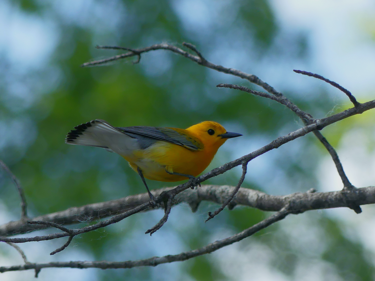
- Birding with Brian: Dozens of species sighted on morning walk with enthusiastic and experienced guide
- Fur trade experts will bring history to life at Interstate Park
- New exhibit in Prescott celebrates city’s history as a hub for river transportation