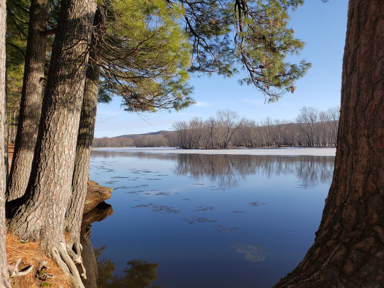
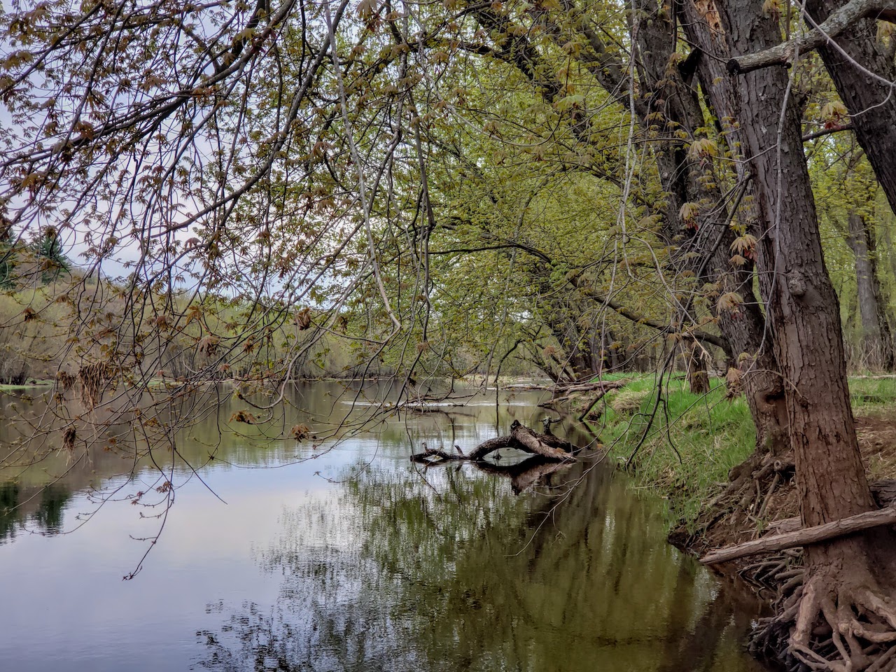
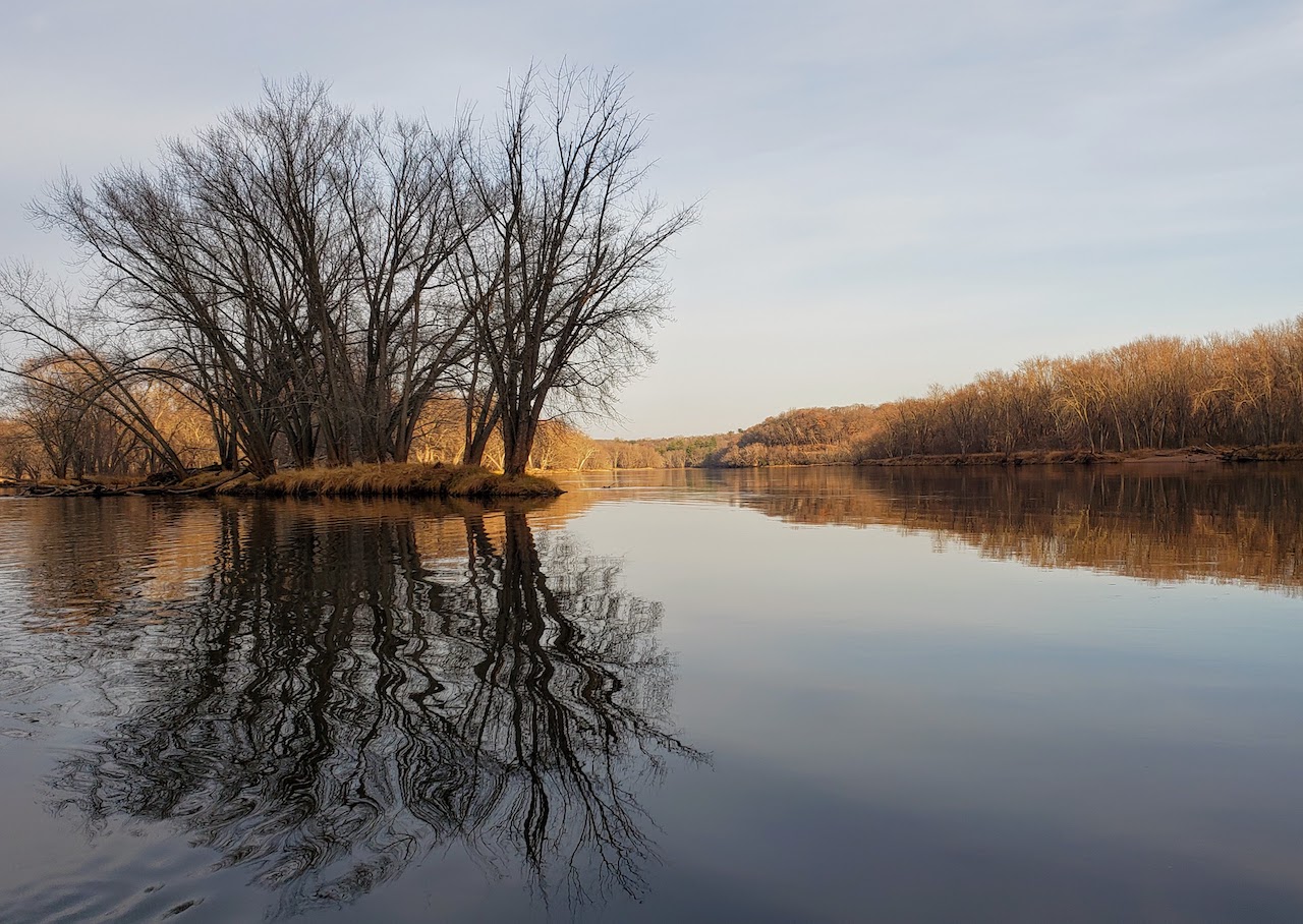
Strib blog: Eagle eye

This is the latest post on my Star Tribune blog. Enjoy!

Eagle chick in a nest on the Mississippi RiverA bald eagle chick was briefly kidnapped from a nest on the Mississippi River recently.

A group of folks from the Great River Road Visitor & Learning Center (better known as Freedom Park) in Prescott, the Misssissippi National River and Recreation Area, and the St. Croix National Scenic Riverway are thinking about putting a webcam on an eagle nest at the confluence of the St. Croix and Mississippi Rivers, and went to take a close-up look at the nest and its occupant one day last month.

Professional tree-climber Jim Spickler evaluated the nest for a potential camera but also brought the 10 lb., seven-week chick down to the ground for a visit with a researcher, who took blood samples and banded it before returning the eaglet to the nest.

Climber Jim Spickler ascends to the eagle nest

Climber Jim Spickler ascends to the eagle nest

Spickler, who travels all over the globe climbing our planet’s tallest trees and who has helped install several such eagle cameras, rated the Prescott nest as at least a nine out of 10. It’s solidly built, within sight (and transmission range) of Freedom Park, and there are good branches to mount a camera on where there won’t be a risk of the lens being covered in, well, eagle excrement.

Like the very popular camera in Decorah, Iowa this spring, the Prescott camera would let anyone on the Internet watch life in the nest next spring, 24 hours a day. In the video below, Spickler first evaluates potential camera locations, but it’s the the close-up footage of the eaglet at the end that is both fascinating and endearing.

Route, of the National Park Service, has been conducting research into contaminants in our environment, and using blood samples from young eagles on the Mississippi and St. Croix Rivers and the Apostles Islands to measure levels of chemicals.

Eagle populations have recovered to the point the birds were removed from the Endangered Species List in 2007. What almost wiped them out once is still a problem, though: the birds accumulate pollutants because of their diet and the fact that they are at the top of their food chain, which makes them excellent indicators of pollution levels.

If the webcam project goes forward, information about Route’s research will also be available on the website. That seems like an excellent way to mix entertainment and education, and it might inspire viewers to do more to protect eagles, and ourselves.

Taking measurements

Taking measurements

The nest camera idea came up about two-and-a-half months ago and is far from a sure thing. Many details still need to be worked out, including permission from the U.S. Fish and Wildlife Service and funding. Bird expert Jim Fitzpatrick, who runs Carpenter Nature Center just upriver on the St. Croix, another project partner, is working on that process.

Watching the video and viewing the photos, I wondered how the chick and its parents responded to the intrusion and abduction. In an e-mail, Jim Shiely of Friends of Freedom Park told me, “When the eaglet was being captured in the nest the eagles flew overhead. You can hear them on the video. They did not and do not attack climbers except in rare cases.”

Eaglet on a nest near Prescott, WI on the Mississippi River

Thanks to Jim Shiely (disclosure: my wife’s uncle) for sending the photos and video and providing a lot of information. Photos and video by Jim Spickler, Margaret Smith, and Roger Santelman.


A significant span

This is the second post for my new StarTribune.com blog. All historical photos are from the Minnesota Historical Society’s John Runk collection, used with permission.

The High Bridge under construction in 1911

The bridge was built simultaneously from each end, and had to line up in the middle. 1911.

On June 1, 1911, construction was completed on a half-mile long, 185-foot tall railroad bridge near Stillwater. Two days later, the first train crossed the bridge. About four still do so every day.

A small group of people visited the bridge on the Minnesota side Wednesday evening, its 100th birthday. The gravel pull-off on the road where the trail leads down to the river was otherwise empty; no other well-wishers had come. But the bridge sees plenty of revelers — mostly 80 or more years younger than itself — on a regular basis. They make circles of rocks in the woods and light fires inside them, then they drink beer and leave the cans as offerings to the bridge or the river or their own self-centered youth.

The place was quiet Wednesday evening, but perhaps the bridge didn’t want a party.

Soo Line (Arcola) High Bridge on the St. Croix River under construction in 1910

Looking from the Wisconsin side, 1910.

The walk down the bluffs to the foot of the bridge follows an old road that was once a driveway for some cabins, which the bridge has outlived. Stretches of concrete and asphalt reveal its history, but today it is just a scenic trail through thick green woods.

Wayside rests include a stand of cedars overlooking a deep ravine with a spring-feed creek at its bottom; a massive white pine, which probably has the bridge beat for years; and a short set of stairs from the road to the site of a former cabin, where a small ring of rocks encircles charred logs.

Walking to the Soo Line High Bridge near the St. Croix River

When the trail reaches the bottom of the bluff, it crosses the spring-fed creek on a little wooden footbridge, which was askew when we walked across it, tilted at a precarious angle toward the water. That bridge was probably only 10 years old.

The St. Croix River was still up high — the normal pebble and gravel beach underneath the bridge was submerged. A muddy flat spot on the banks featured a circle of rocks with the remnants of a fire inside. And there it was.

The Soo Line High Bridge over the St. Croix River

June 1, 2011

The High Bridge was designed by C.A.P. Turner, six years after he designed Duluth’s Aerial Lift Bridge and 15 years before designing the Mendota Bridge over the Minnesota River. It rises out of the wooded islands of the river as if to inspire the trees.

The bridge was there during both World Wars, during the Depression, during Prohibition. Many generations of teenagers have come here to drink beer and make fires, to see the broad valley painted in moonlight, and to look down on eagles soaring over the river.

Soo Line (Arcola) High Bridge, November 2007

November 2007

The most authoritative page on the Web about the bridge is probably John Weeks’ site. Weeks has documented in photos, history, and statistics all of the bridges on the St. Croix, as well as on several other major rivers, including the Mississippi. He is fond of the High Bridge:

“The Arcola High Bridge was added to the National Register of Historical Places in 1977. Experts have called this bridge the most spectacular multi-span steel arch bridge in the world. Others compare the magnificent steel work to that of Eiffel’s creations in France.”

Wednesday night, nobody sang “Happy Birthday.” Everyone pulled out cameras or phones with cameras and snapped photos exactly like the ones we have all taken there before, the bridge identical to itself all these years. The only changes are the color of the trees, the clouds in the sky.

The Arcola High Bridge in autumn

Looking from the Wisconsin side, October 2006. Photo by Jim Brekke, used with permission.

The walk back up to the car was a good reminder of our own years — or at least our years of sedentary living. One’s legs burn climbing those 200 feet back to the top of the bluffs. You try to conceal how hard you are breathing.

Later, over Burgermeisters, French Fries, and 12 oz. mugs of cold, light beer at Meister’s on the South Hill, a disagreement erupted about whether a new restaurant in town was going for a “Colonial” or “Revolutionary” America feel. The two holding conflicting opinions were once students of Advanced Placement U.S. History at Stillwater High. Their teacher, my mother, would have been very proud.

The High Bridge shortly after it was built in 1911.


Star Tribune blog: Nowhere else but here

I am very excited to share the first post on my new StarTribune.com blog. I will be writing about once a week there on familiar topics, such as conservation, the Boundary Waters, the St. Croix River, and more. I will cross-post everything here, and also continue posting other words occasionally.

Nowhere else but here

Greg Seitz headshotIn 2009, I decided to write every single day for the month of June, as a way of celebrating what many consider Minnesota’s finest month. To add to the challenge, I decided to write in the old Japanese form of haibun, which is just a fancy way of saying a few paragraphs of prose, combined with three-line haiku poems.

This ended up meaning a lot of late nights, tapping away at the computer when I wanted to go to bed, faced with a midnight deadline. But I finished the month with 30 short essays, a document that is both a record of a specific period of time, and an impression of the season and what it brings year after year.

The collection of writing spanned the Boundary Waters Canoe Area Wilderness to the St. Croix River, from riding the bus through the heart of Minneapolis to walking my dog on the shores of St. Paul’s Lake Phalen, and all the journeys in between those places.

Also in those essays were perennial summer events: watching a field full of fireflies; canoeing to a campsite along a cold spring-fed creek, then paddling to a sandbar perfect for swimming; Ely busy with canoe parties ready to head out into the wilderness.

St. Croix River canoeingJune is here again. I don’t plan to repeat my “June Haibun” project, but I am eager to enjoy this month known for the beauty, joy and sun that we deserve after another long winter. This past weekend, as summer hesitantly arrived in the North Star state, I took to the St. Croix River with my wife Katie and our black lab Lola. It was sadly the latest in the year that I can remember taking our first canoe trip in a long time.

We put the canoe in near the mouth of the Snake River and floated downstream 11 miles to a landing near Rush City. The sky was overcast, but summer skies are never boring. The clouds were dimpled, showing that there was a bright sun shining above. The early summer air was heavy with moisture, thick with the smells of new growth and alive with a constant chorus of birds.

A friend once said the solstice, the longest day of the year, should be an official state holiday in Minnesota. I don’t see that happening anytime soon, but I’d suggest June 21 would be a very good day to use some vacation or call in sick, and celebrate summer in this beautiful place we live.

Sunset canoe beach


Many miles man

Minnesota Trails, spring 2011

Minnesota Trails, spring 2011

The following article was originally published in the May issue of Minnesota Trails magazine.

The story is based on an interview I did last summer with a man named Bill Nedderman on the banks of the St. Croix River. I received e-mail updates on Bill’s adventures both last fall and this spring, with many more miles by foot and kayak to report.

The footnote to the article includes details about his through-hike of the Superior Hiking Trail, paddle trip down the Mississippi, and European adventures.

Enjoy!

Kayaking across Minnesota

Bill Nedderman on the St. Croix River

This summer, Bill Nedderman made a detour. As he planned the route for a solo kayak trip from Rocky Mountain House in Alberta to Montreal, Quebec, retracing an old voyageur trail, he didn’t want to repeat a path he had already traveled along the U.S.-Canada border in the Boundary Waters.

So he decided to dip south through Minnesota. Tacking on an extra thousand miles or so of paddling was just a way to see some new rivers.

I met up with Nedderman at a park along the St. Croix River. We walked a quarter-mile down the trail to where he was camped for a few days, resting up from a mysterious illness that had slowed his travel since the Minnesota River.

Bill Nedderman and his tarp shelter.

Nedderman uses a shelter constructed of a lightweight tarp, a screen, and his paddles.

Nedderman’s trip through Minnesota took him from Canada up the Red River of the North to the Minnesota, then to the Mississippi to its confluence at Point Douglas with the St. Croix, which he was going to take up to its headwaters, portage over to the Brule, and descend to Lake Superior.

The summer’s high water, illness and other factors had put him behind schedule. He thought it wasn’t going to be possible to make Montreal this year, and instead was trying for Thunder Bay. Once he was done paddling for the year, he planned to do a thru-hike of the Superior Hiking Trail.

“Long-distance” seems inadequate to describe Nedderman’s pursuits. “Long distance” is a romance between lovers attending colleges in different states. It’s an antiquated idea in a world where we can video chat with friends on different continents and fly over remote wildernesses in Google Earth.

Nedderman on the water in his Klepper folding kayak.

Nedderman on the water in his Klepper folding kayak.

But this simple idea best defines Nedderman. This summer’s trip was not the dream of a lifetime, but the way he has spent most of the warm months for the past 20 years. While he paddled through Minnesota, he reached an important milestone. In Breckenridge, on the Minnesota River, he paddled his 24,901st mile. That number happens to be the circumference of the earth.

A native of Iowa, Nedderman still has a small cabin without running water or electricity there. He spends just a few months during the winter at the cabin and fills his summers with adventures around North America and beyond.

The man who had paddled more than 25,000 miles by the time he left our state has also hiked the Appalachian, Continental Divide and Pacific Crest Trails, the “Triple Crown” of long-distance hiking trails in the United States … Three times each. The tattered homemade ultralight backpack he showed me at his campsite on the St. Croix had been on his back for at least 25,000 miles of hiking.

Trusted companion ... Nedderman's backpack.

Trusted companion ... Nedderman's backpack.

Nedderman paddles a collapsible Klepper kayak, the wooden frame of which was made in Germany some 40 years ago. The canvas cover was stitched by his long-time girlfriend and traveling partner Ursula, who decided after 12 years of adventure that she was ready for a more stable lifestyle. Nedderman kept paddling.

I wanted some photos of the traveler doing what he does, so he obliged with a bit of paddling in the river. Nedderman uses a single-blade paddle, not the double-ended types most kayakers use. The reason is simple: being able to switch paddling sides lets him rest different muscles during the course of a day. The foot-pedal controlled rudder allows him to steer without using a j-stroke, and he can cover dozens of river miles a day.

Today, most long-distance adventurers seek the support of sponsors, which is often the only thing that makes such expeditions possible. But, as Nedderman told me, the sponsors of course want their “pound of flesh.” They expect their sponsored athletes to blog and Tweet and post to Facebook their every move, and include lots of photos of the gear performing under such adverse conditions.

That’s not for Nedderman. He keeps traveling only because “once I leave home, I don’t want to go back.” It’s all about what is around the next bend in the river for him. Rather than seek money and gear from sponsors, he has made frugality a fundamental of his style. His gear is largely homemade. He slips through most towns along his travels without announcing his presence and his remarkable accomplishments.

Nedderman's homemade, ultralight alcohol-burning stove.

Nedderman's homemade, ultralight alcohol-burning stove.

The high water that characterized most of Minnesota’s rivers in the summer of 2010 often presented a challenge in his upstream travels. But it also had an unexpected benefit. He sent me an email in September describing the rest of his trip up the St. Croix. He had been able to paddle the whole way to the headwaters, without having to worry about the rock-and-gravel riffles in the upper river that could have impeded him. He pulled his boat up some of the fast parts, but without scraping it on the river bottom.

The day we met was gray and quiet. The river, backed up here from the dam at St. Croix Falls, was flat and silver. No other person passed for the entire time we talked. Nedderman talked about how his interest in frugality complemented his long-distance travels. He packs extremely light. “The more stuff you bring, the more you have to keep dry,” he said.

Despite challenging mud on the Red River, extreme heat and humidity on the Minnesota River, possible West Nile Virus and high water going up the St. Croix, he had enjoyed his trip through the state. He looked out at the river and said, “If you charged money to paddle the St. Croix, more people would do it.”

A view of the cockpit of Nedderman's Klepper folding kayak.

A view of the cockpit of Nedderman's Klepper folding kayak.

Further

I interviewed Nedderman in mid-August last year. At that point, he had about 100 miles left to go up the St. Croix. He completed that and then descended the Brule River, portaging around class 2 and higher rapids. From there, he paddled up the North Shore of Lake Superior to Grand Portage, arriving there on September 13.

But his wandering for the year was not over. Nedderman then hiked the 277-mile Superior Hiking Trail from Duluth to Canada. On October 7, he took a bus from Duluth to Minneapolis. His e-mail reads lyrically enough that it’s worth quoting:

got on a bus from duluth to downtown minneapolis 7 oct.
walked 5 blocks to the mississippi
put the kayak together
and paddled 1808 ml. down to mile zero
got there on 13 dec.

After spending the winter at his cabin, Nedderman said he got “spring fever.” When I got in touch with him this week, he had been in England for four weeks, hiking the 184-mile Thames Path and the 99-mile South Downs Way. After those treks, he is planning to do the 538-mile GR 10, a hiking path along the French side of the Pyrenee Mountains, near the border with Spain, and then do some additional hiking in the Alps.

Nedderman’s paddling ambitions for the year is a trip from his home base near Cedar Rapids, IA down the Cedar River, to the Iowa to the Mississippi and to the Ohio. Then, up the Ohio to the Tennessee River, and then to Mobile, Alabama via the Tennessee-Tombigbee Waterway, a 234-mile man-made river, primarily intended for commercial shipping.

Bill Nedderman

Bill Nedderman


A blustery beginning

Corey Mohan sets off for Lake Superior

Corey Mohan sets off for Lake Superior

The temperature was 35 degrees Fahrenheit. Wind was gusting out of the northwest at 15 mph. The current in the still-flooded Minnesota River was clipping along at 31,700 cubic feet/second (some 20 miles upstream at the nearest gauge). With these unchangeable natural conditions, Corey Mohan set off this morning on a canoe trip from St. Paul to Madeline Island on Lake Superior.

As a crowd of 30-40 wind-whipped well-wishers clutched Bloody Marys and Mimosas, Corey thanked his supporters and his wife, and read a bit of poetry:

I do not know much about gods; but I think that the river
Is a strong brown god—sullen, untamed and intractable,
Patient to some degree, at first recognised as a frontier;
Useful, untrustworthy, as a conveyor of commerce;
Then only a problem confronting the builder of bridges.
The problem once solved, the brown god is almost forgotten
By the dwellers in cities—ever, however, implacable.

- T.S. Eliot, The Dry Salvages

Seeing them off

Corey, and his wife Lois, who will join him for this first day, left from Sibley House, a Minnesota Historical Society site where previous explorers of the upper St. Croix — Schoolcraft, Nicollet and others — also departed in centuries past. His Mad River Canoe had been dubbed the “Elizabeth Pelagie,” in recognition of a Wahpeton Dakota woman who was given Pike Island, an important Indian site across the river, by an 1821 treaty.

Corey and Lois would only be on the Minnesota River for a few hundred yards before it joined the Mississippi. If all goes well today, they should get to at least Grey Cloud Island, but with the current and the tailwind, I’d be surprised if they don’t make the St. Croix, some 17 miles downriver. Corey hopes to make it the some 300 miles to Madeline Island by about May 31.

Route map:

In an e-mail, Corey told me:

I’ve been thinking about this particular route for 5 years and then some. The idea came from James Taylor Dunn’s, The St. Croix – Midwest Border River. Early chapters on Native Americans and early Euro-exploration caught my attention and inspired some “what ifs”. In partcular, Schoolcraft, Nicollet Carver among others made the same or close to the same route and I enjoyed Dunn’s re-telling of their story… At the end of Dunn’s book, he writes about his trip down the the river from Upper St. Croix Lake to Taylor’s Falls. I wondered about how much may have changed – or not – from the 1960s to the present. Also, my first canoe trip on a Minnesota river was on a stretch of St. Croix in or near Wild River State Park or St. Croix State Park. I had just moved up here from Illinois, 1982, can’t recall exactly where we were but it was July, buggy and and lovely.

Cory’s Mad River canoe, with a Cooke Custom Sewing spray skirt:

Corey's Mad River canoe with Cooke Custom Sewing spray skirt

Off they go:

I hope to have more about Corey’s trip as he blogs from the river and as I share some more from an e-mail interview I recently conducted with him.


Page 5 of 29« First...34567...1020...Last »